NASTY ROCK TRAIL #3356

September 4, 2012
Info: From the Forest Service Land site (http://www.fs.usda.gov/recarea/willamette/recreation/hiking/recarea?recid=4255&actid=51). The official portion of this trail is 1.6 miles long on Forest Service Land. The trail aggressively climbs toward the ridgeline to the northwest. Once you reach the ridgeline, the trail turns more northeasterly traversing on the ridgeline towards Nasty Rock. This portion of the trail is not officially maintained by the Forest Service, therefore will likely be extremely challenging to navigate.
Directions:From Salem, travel East on Hwy 22 to milepost 23 at the Swiss Village Restaurant. Turn left on North Fork Road, which is marked “Little North Santiam Recreation Area”. To access Nasty Rock Trailhead, travel about 20.5 miles on road 2209 and keep an eye out for the post with hiker symbol on the left. Parking is approximately 100 feet before trailhead on the right at a dispersed camping site.
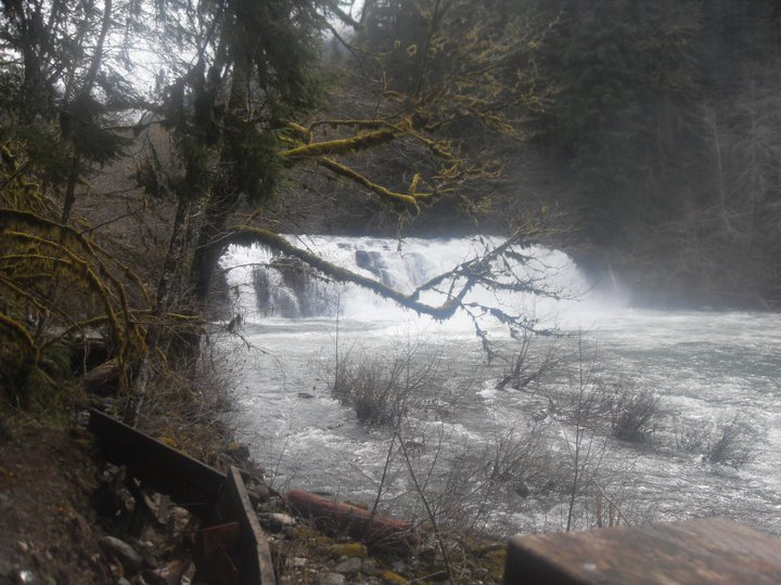
Jenn’s View: Hot diggity dog this trail was hard. 🙂 It was a steep incline from the very beginning to the point where we had to turn back. It reminded me of Henline Mountain Trail. I actually did that trail 3 times but each time I hit snow. Besides, I was in better shape last year so it wasn’t too hard. Tons of switchbacks on this trail, I thought I was gonna die. he he. I can’t find good information about this trail. Probably because its OK. There’s not really any great views of the mountain range. One site I did find, states that you would be able to see the Little North Fork Valley, Elkhorn Ridge, Henline Mountain, Battle Axe Mountain, and Mount Jefferson. I didn’t reach that area. I guess you are suppose to be able to see Nasty Rock. Not sure if it looks like a pile of rocks and they just call it Nasty Rock or that it looks like a mountain/hill and call it Nasty Rock. I found this trail on my map and thought, “Why Not?”. It’s a trail that I haven’t hit and was looking for something short to do. Just wasn’t expecting it to be that hard. There are two Nasty Rock. I was just looking at it. Maybe the one area is the actual “Nasty Rock”.

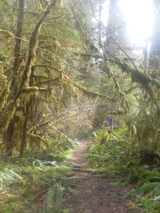
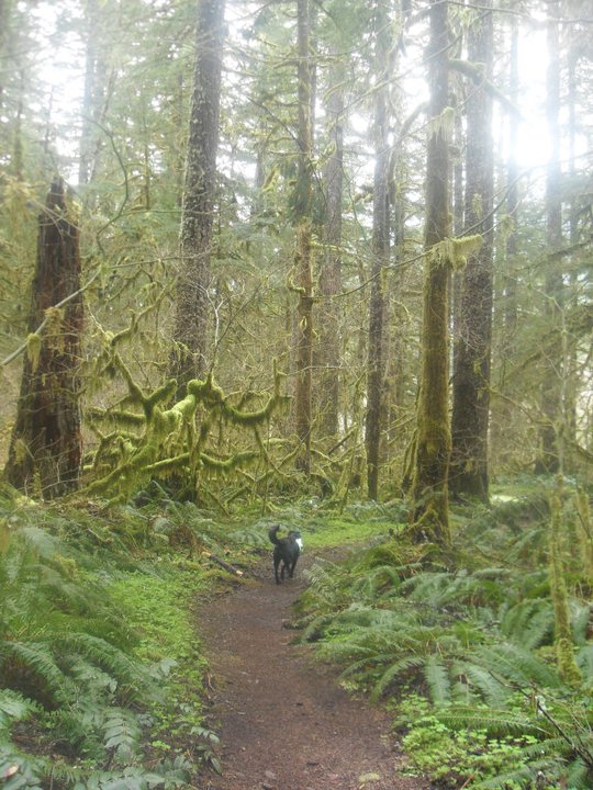
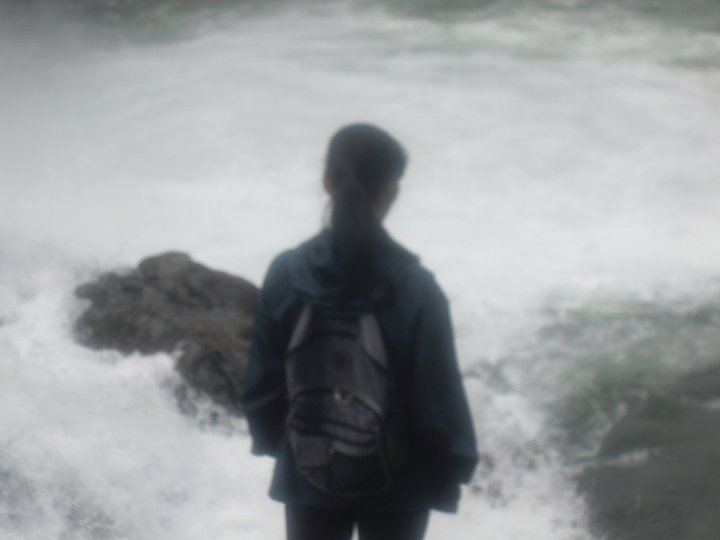
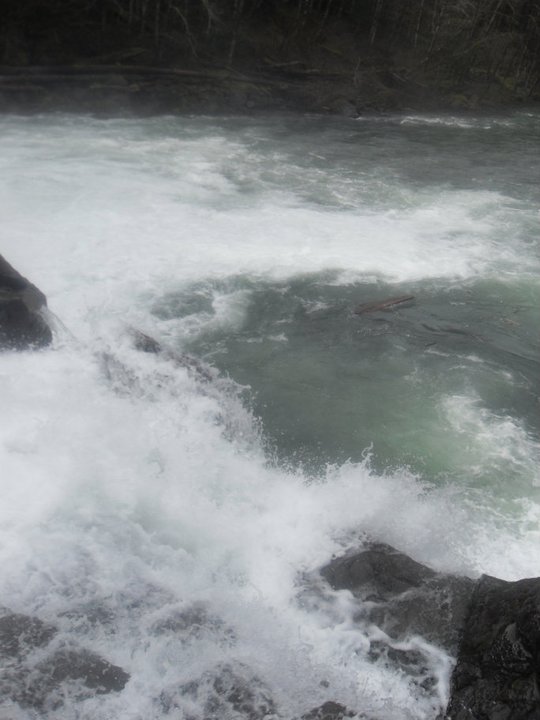
Makaila went with me and she was telling me WHY she doesn’t like to go with me. I’m trying to kill her. hahahahaha. What a dork. There’s not much to talk about this trail other than it was hard. It was a perfect day but prefer it to be a little bit colder. I took pictures of the rock boulders thinking may be one of these maybe Nasty Rock.
Makaila started shaking so I think her blood sugar level was low and I gave her my banana and ate my hard boiled egg. Normally, I would have a cliff bar or beef jerky or trail mix with me. Some times a Subway Sammich. We had to turn around approximately more than 1/2 way through our hike. We had to get back to Alesia’s first game! 🙂


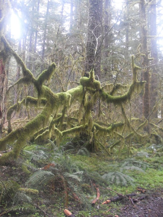
I thought this was a mushroom growing off a tree but when I touched it, it was hard as a rock so I don’t think it is.

I would recommend this hike if you are looking for something short to do and not really caring if you don’t see much of anything. Saw the BLM guys and talk to them for a second or two just asking how far the trail goes to and they asked how far I wanted to go. Oh geez. They were no help. They were running down the trail and “whoop whoop” down the way. he he. Fun fun!


 History: Opal Creek’s ancient forest was thrust to fame in the 1980s by controversy over Forest Service logging proposals. National television crews and thousands of visitors hiked to Jawbone Flats’ rustic mining camp and scrambled over a rugged “bear trail” to view the endangered old-growth groves towering above this creek’s green pools. By the time Opal Creek finally won Wilderness protection in 1998 an improved path had been built to make the area more hiker-friendly. The new trail shortcuts from the Little North Santiam River to Opal Creek, making possible a loop trip to Opal Pool’s gorge and Jawbone Flats.